
Once you have simulation a coverage, with or without coverage on receivers, you want to share it to your colleagues, prospects, and other partner.
You have different possibilities.
Simpler : share a map
Simply click on Share maps, this will create a public link to your map. You can share this link to however you want.
Note that all results you have simulated are embedded on this link, as well as transmitters location and properties.
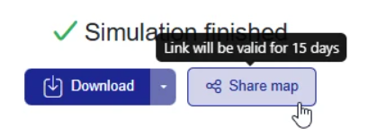
This link is valid for 15 days.
Export kmz file
You can export your coverage results into kmz format, and import it on Google Earth. This file can be sent to your prospects, partners and colleagues.
Export geotiff file
This format is the best format to use if you want to post process results onto dedicated tools (QGIS, ...). Sharing these files externally can be useful if your contacts need to run such analyses.